Urban Planning
GIS can help planners visualize an area’s current and historic conditions to draw comparisons between the anticipated results of proposed development plans, identify opportunities for improved resource use, or where to build new infrastructure and future growth.
Community Mapping
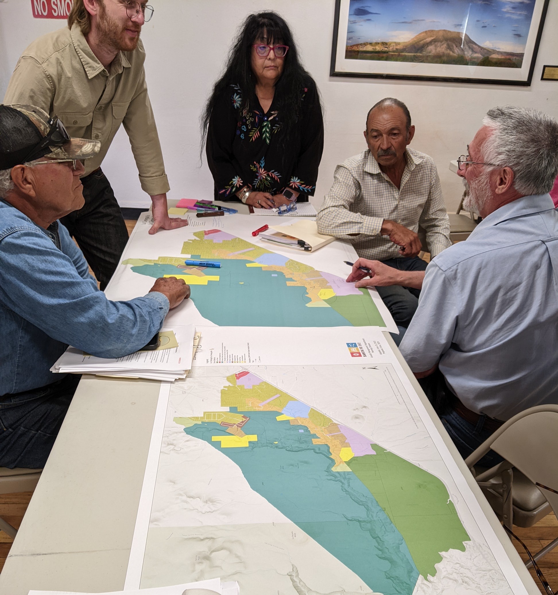
The GIS (Geographic Information System) is used as a powerful tool to visually represent and analyze a community's assets, needs, and issues by layering different types of data onto a map, allowing for identification of patterns, disparities, and areas requiring focused attention, ultimately aiding in informed decision-making and community development initiatives.
Resource Management
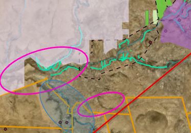
Planners utilize Geographic Information Systems (GIS) technology to visually represent and analyze spatial data related to natural resources, for monitoring, planning, decision-making and management of water sources, wildlife habitats, and land use.
StoryMaps
ArcGIS StoryMaps is a web-based tool that allows planners to combine maps and other content to share dynamic presentations and briefings, deliver public information, and support advocacy and outreach. StoryMaps can be used to create interactive stories using geographic information system (GIS) data, multimedia and content to cultivate awareness, inspire, and capture community voices to share across social platforms.
Click the following links to view Storymaps:
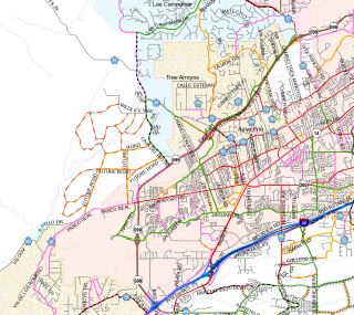
Land Grants
Land grants were made to individuals and communities during the Spanish (1598-1821) and Mexican (1821-1846) periods of New Mexico’s history. Although nearly all the Spanish documents in New Mexico were destroyed during the Pueblo Revolt of 1680, the New Mexico Commission of Public Records’ State Records and Archives maintains “Land Records of New Mexico” preserved on microfilm that contains the Surveyor General of New Mexico and the Court of Private Land Claims case files, as well as other professional papers and materials relating to litigation over many New Mexico land grants. This Storymap contains links to archival private land claims, historical photos and archived survey plats.
1912 King's Official Map
Shortly after New Mexico was admitted to the United States as the 47th state on January 6, 1912, Santa Fe Mayor, Arthur Seligman, appointed a city planning board, "to plan for a healthful, convenient, and attractive city, for the preservation of such historic streets and properties as will be needed to preserve its character as the most ancient city of America, and, all when planned, to be laid out and designated in maps and reports." A map of the city was commissioned from Colonel Norman Landon King, cadastral engineer in the United States Land Office in Santa Fe, who took two years to create the historic 1912 King’s Official Map which shows streets, blocks, lots and lot owners, arroyos, acequias, landmarks, and emphasizing new additions to the city located south of the Capitol.
Historical Markers of Santa Fe County
This Storymap features points where historical markers and interpretative signage regarding the arts, culture and the natural environment have been placed within Santa Fe County and on County Open Space property.
Santa Fe County Arts & Culture
A Storymap showing community assets, annual events, venues, and opportunities for arts and cultural throughout the county.
Art in Public Places
Map of the locations where the City of Santa Fe’s Arts-In-Public-Places program has placed diverse mediums of art within the city limits, and the County has placed art for the public.
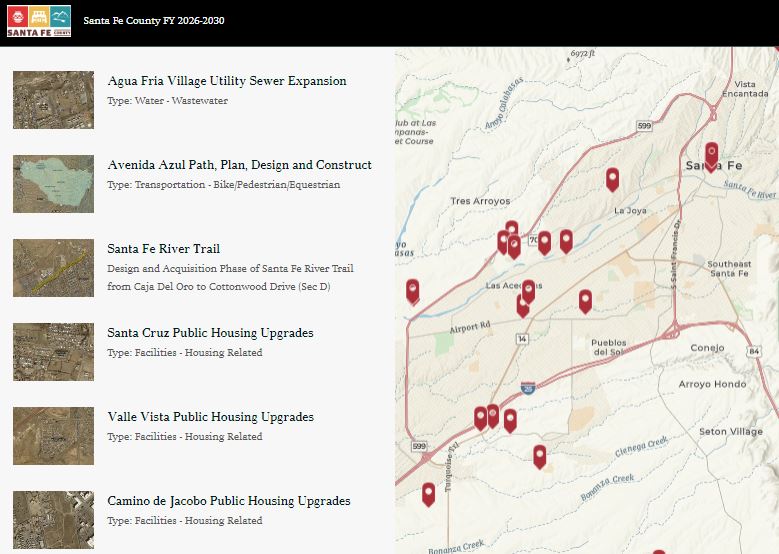
Santa Fe County ICIP Projects FY 2027-2031
This Storymap shows the current FY 2027-2031 list of Santa Fe County’s Infrastructure Capital Improvement Plan (ICIP) and Public Works Projects. County staff solicit project proposals from residents annually for inclusion in the ICIP and other capital planning documents. A 5-Year Infrastructure Capital Improvement Plan (ICIP) is created and then submitted to the New Mexico Legislature every year where projects are considered for Capital Outlay funding.
2024 Existing Functional Classification of Roadways
The Planning Division and the Public Works Department work on transportation safety projects throughout the County. Projects include road safety studies, maintenance projects, and capital improvement projects to improve safety. Every ten years the Planning Division updates the official Functional Classification of Roadways map as a resolution that is adopted by the Board of County Commission. This Storymap shows the current Functional Classification of Roadways Map for the County that was updated and approved in November 2024.
Water Leadership Institute 2026
In 2026, Santa Fe County partnered with the Rural Community Assistance Corporation (RCAC) to offer a five-part learning series for water leaders to develop skills in in communication, outreach, stakeholder engagement, and individual leadership while exploring topics such as workforce, bringing funding to water projects within the region and emergency preparedness. This Storymap highlights group activities and photos from each collaborative session.
County Water Sector Studies
This Storymap summaries past and present water sector studies led or supported by Santa Fe County.